This hike is connected to our geocache "Landscape of Baron Ringhoffer" - http://www.geocaching.com/seek/cache_details.aspx?guid=00138a3a-58a6-4afc-85a9-c359dfc0be68
Classic tourist map: http://www.mapy.cz/s/6JTC
Map of the specific trail and photos (PDF): http://www.laduv-kraj.cz/e_download.php?file=data/editor/40cs_3.pdf&original=krajinou_barona_ringhoffera.pdf
Let me quote following source: http://www.laduv-kraj.cz/tourist/landscape-of-baron-ringhoffer
 "The nature trail called
Landscape of Baron Ringhoffer has been established in memory of the
prominent industrialist who greatly influenced the landscape in the
Velke Popovice and Kamenice regions in the 19th century. Baron Frantisek
Ringhoffer, the owner of an engineering empire in Smichov in Prague and
an important figure in the elite circles at the time, established the
brewery in Velke Popovice and a number of other manufacturing
enterprises, including a copper mill, saw mill, brickworks and dairy.
The Baron and his family took care of the local landscape with great
dedication, planting avenues of trees, and maintaining the roads and
land surrounding two of their residences – the Stirin, Lojovice and
Kamenice chateaus. Their care for the landscape is noticeable to this
day.
The tourist trail Landscape of Baron Ringhoffer is one of the greatest
walks in the surroundings of Prague. It offers magnificent views of the
Velkopopovicko nature park and the surroundings of the Sazava river, an
excursion to the Velke Popovice brewery, a stroll through the park
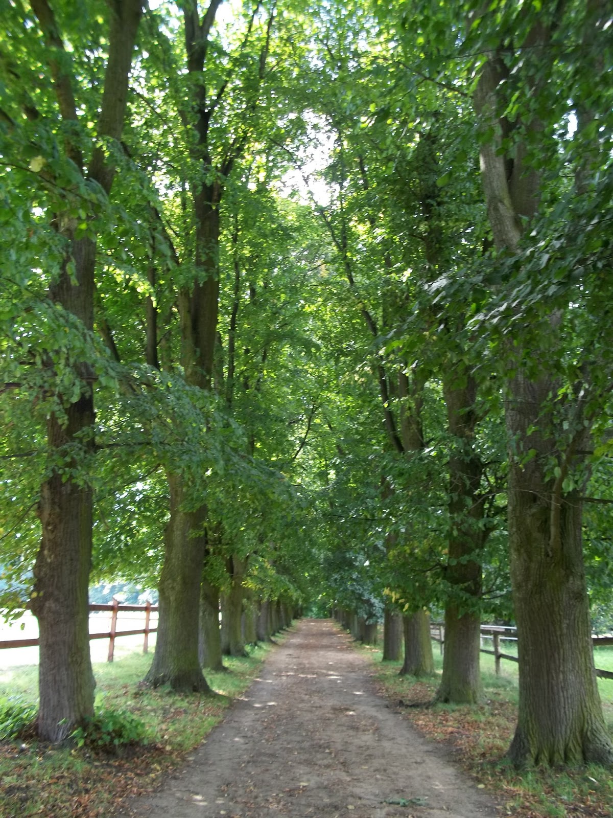
belonging to the Stirin chateau, a walk through the avenue of trees
leading to the Ringhoffer family crypt, a visit to the church with a
rotunda and the Jewish cemetery in Kostelec u Krizku and much more.
The trail is 20 km long, includes 10 information signs and can be reached by the integrated Prague public transport. The walk starts in Mirosovice (on railway line no. 221 – Prague Main Station – Benesov u Prahy) and ends in Kamenice, with transport options including buses to Prague, to the Budejovicka underground station.
This project of the Josef Lada Country micro-region was completed in 2005 – 2006 with a financial support of the Central Bohemia Region."
TRAIL IS SUITABLE FOR CYCLISTS EXCEPT OF SHORT DISTANCE BY REPCICE.
Beginning of the trail is to be found next to the train
station at Mirosovice. Follow first yellow then blue tourist marked trail and continue until Velke Popovice where you can go to excursion in
local brewery or have a great lunch and beer (one of my favourite)!
English web for details: http://pivovar.kozel.cz/en/homepage.html
Next, follow yellow tourist marks that will lead you to board no. 5. Follow the trail up the hill (across the stream) – this time, first green
marks then blue again direction Stirin. Consider visit to the Stirin chateau (you cannot go inside though) and
its parc – it is very beautiful! Otherwise
continue following blue marked trail to board no. 7 at Hamersky pond. Keep on blue marked trail. Go through a beautiful avenue of trees to
Ringhoffers‘ tomb and to 8th board. Still on blue, you will soon reach 9th stop. From there consider a short detour to local Jewish cemetary (photos at http://www.atlasceska.cz/stredocesky-kraj/zidovsky-hrbitov-kostelec-u-krizku)
Unmarked trail will then lead you to
the centre of Kamenice and last board at N 49° 54.258 E 014° 35.194 and
also to the bus station. Or you can take cycling path or partly green trail - check the map, it's easy. Hope you will like it there!


No comments:
Post a Comment